High-Precision Aerial Surveys, Roof Inspections And
3D Mapping On Demand
Turn Site Data Into Actionable Insights — Fast
Get the Whole Picture —
Orthomosaics,Volumes, 3D Models
Our Services
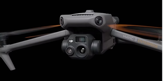
We provide high-precision aerial mapping, 3D models, and 4K video inspections to help construction teams, surveyors, and property managers work smarter. Whether you need site progress tracking, earthworks volumes, roof inspections, or promotional visuals, our RTK-enabled drone services deliver accurate data and stunning imagery. With a simple monthly platform fee or flexible pay-per-acre or per-project pricing, you can schedule multiple mapping or video visits per month or single site visits.
-
Pay a single base fee per month, and only pay for what we map after that — up to 3 mapping visits per month.
Ideal for construction sites, progress tracking, or multi-phase projects
Includes 2D Orthomosaics, and 3D Models
Typically relative accuracy is (0.01 - 0.03m) Horizontal and (0.02 - 0.05m) Vertical!
Contact us for details!
-
We offer professional 4K aerial video inspections for roofs, building exteriors, and hard-to-reach structures. Ideal for surveyors, property managers, and contractors, our drone-based inspections provide high-resolution visual data for condition assessments, defect identification, and project documentation — all without the need for scaffolding or costly access equipment.
-
We provide high-quality aerial photography and 4K video for real estate marketing. Perfect for residential and commercial properties, our drone services capture stunning images and cinematic footage to showcase listings, highlight key features, and help properties stand out online and in print


100% Transparent
-

Capture
Precision captured from above.
-

Process
From images to maps, models, and measurements.
-

Cloud Delivery
Interactive maps and reports — delivered Online
-

Support
Here to help you get the most from your data.
Lets Chat!
Have a project in mind or just want to learn more about our drone services? Let’s chat! Whether it’s mapping, inspections, or real estate visuals, we’d love to discuss how we can help. No obligation — just a quick conversation to see if we’re the right fit for your needs!
-

Ade - Professional GVC Pilot
Drone Surveyor
A qualified drone operator with a GVC (General Visual Line of Sight Certificate) and over 5 years of experience in aerial surveying and data capture. With a background in engineering, I understand the technical and practical needs of construction, civil works, and industrial projects.
My goal is to provide clients with high-precision, actionable aerial data — from progress mapping and inspections to 3D modelling and promotional visuals — all delivered clearly and professionally.
I’m committed to safety, accuracy, and delivering real value to every project I support.
Not Sure What You Need?
No problem — we’re here to help. If you’re unsure which service is right for your project, just book a quick call and we’ll walk you through your options. Whether you’re comparing quotes or just exploring ideas, we’re happy to chat.
Book a quick call — no pressure, no obligation.